Lionel pw-950
LIONEL 950 RAILROAD MAP OF THE UNITED STATES
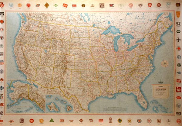
| Made for Lionel by Rand McNally between 1958 and 1966 - these maps measure 52 inches x 37 inches and were included with special promotions and uncataloged sets (folded) and for seperate sale (rolled in tube marked 950). Featured a US map with colored railroad heralds all around the border. While the maps themselves come up for sale with some regularity and in varying conditions, the card tubes are rare items and increase the value of the map considerably. |
![]()
To Research Other Lionel Items in Our Research Library,
Click Your Browser's Back Button
Return to the Train-Station.com Home Page
![]()